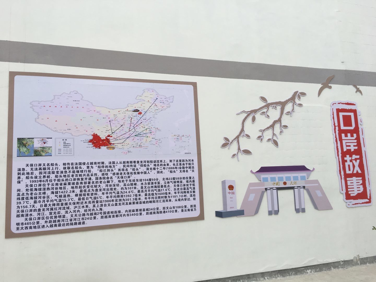
Tianbao Port between China and Vietnam
Tianbao Port is located in the southern part of Malipo County, Wenshan Zhuang and Miao Autonomous Prefecture, Yunnan Province, 38 kilometers from the county seat of Malipo, the whole downhill, and the expressway is currently built. This road is also part of the southernmost part of National Highway 246 (Suining-Malipo). Tianbao is located at the foot of The Old Mountain in the Yumai of Liuzhao Mountain, and the political district is organized as a town under the jurisdiction of Malipo County. It is also known as the “bow of the ship”, according to legend, at the end of the Qing Dynasty, the French army went north along the Lujiang-Ming River (lower reaches of the Panlong River), and when passing through a small place called “Cat And Cat Jump” near Tianbao, the boat on board encountered a rapids and could not advance, so it turned around and returned south. Later, the place where the French ships turned around and returned south was called the “bow”. “Tianbao” got its name because it also became a “natural protective barrier” against invasion, and the allusion continues to this day.
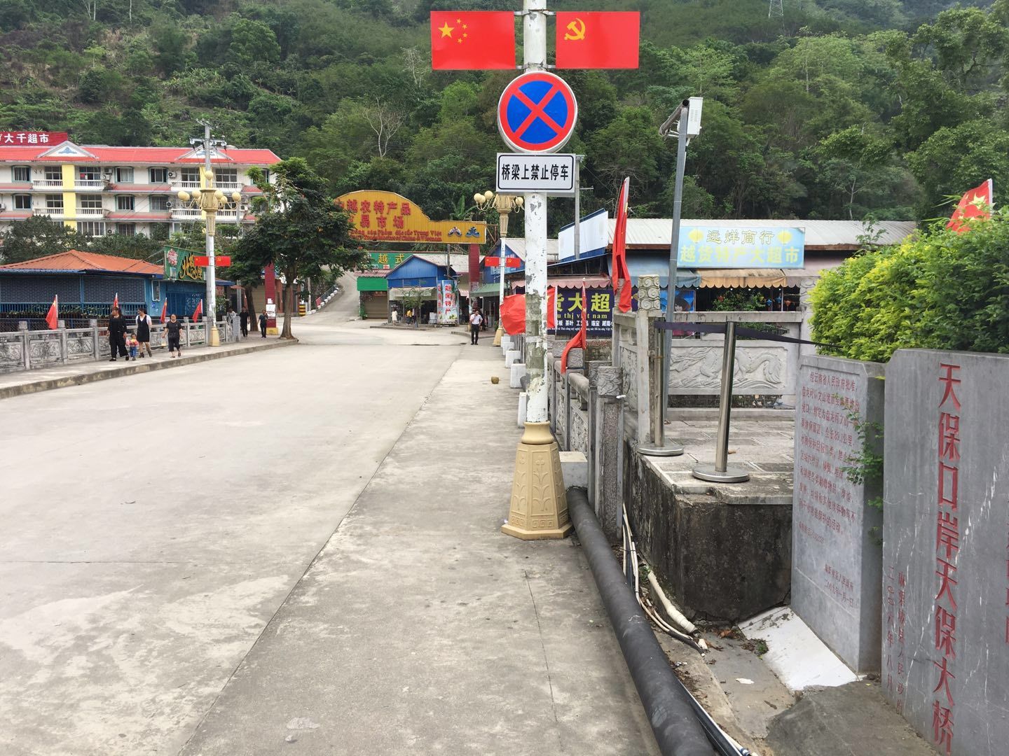
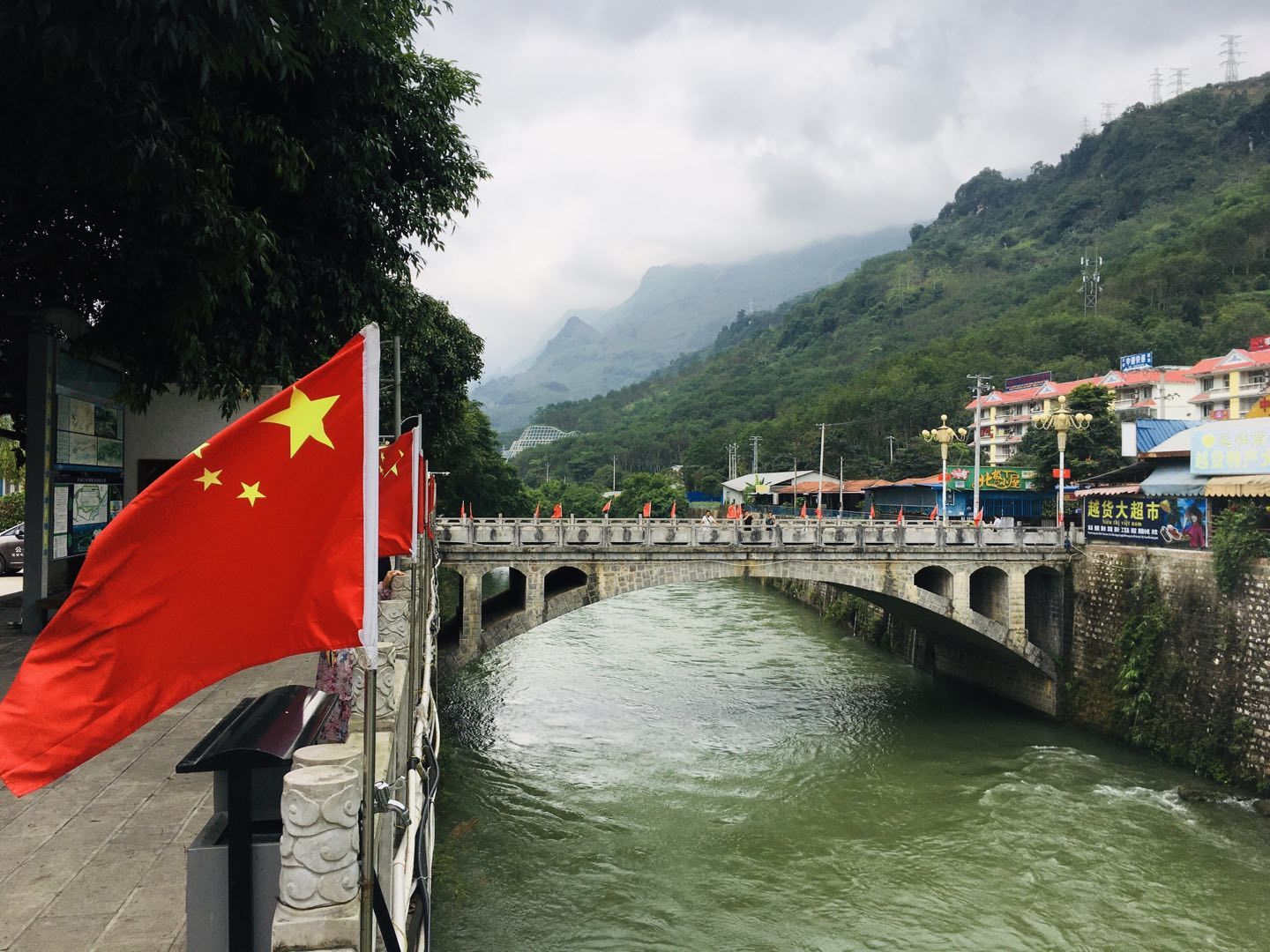
The “Tianbao Port Bridge” on the Panlong River is adjacent to the China-Vietnam Border Inspection Building and the Agricultural Products Trading Market.
Corresponding to the Tianbao Port is the QingshuiHe Port in Ha Giang Province, Vietnam, which is only more than 20 kilometers away from Ha Giang City after leaving the country, which is closer than to the county seat of Malipo County.
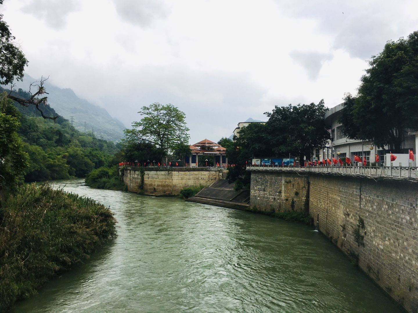
The Panlong River flows into Vietnam at the Tianbao Port, where it is first called the “Ming River”, after receiving the Jinjiang River, it is also called the “Lu River”, and then it is merged into the Red River in Yuechi City, Fushou Province.
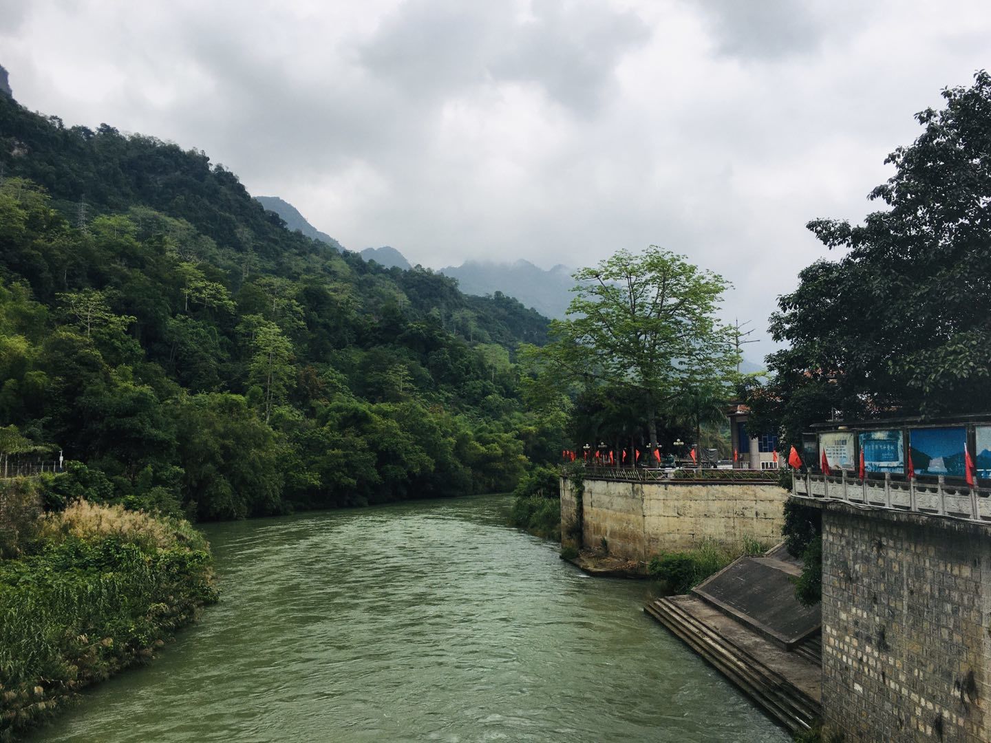
Upper panlong river, in the direction of China. The Panlong River, known as “Kettle Water”, originates in Mengzi City, Honghe Prefecture, Yunnan Province, flows through most of Wenshan Prefecture, and is also known as a mother river in Wenshan Prefecture.
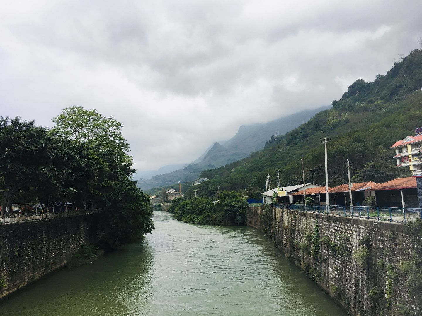
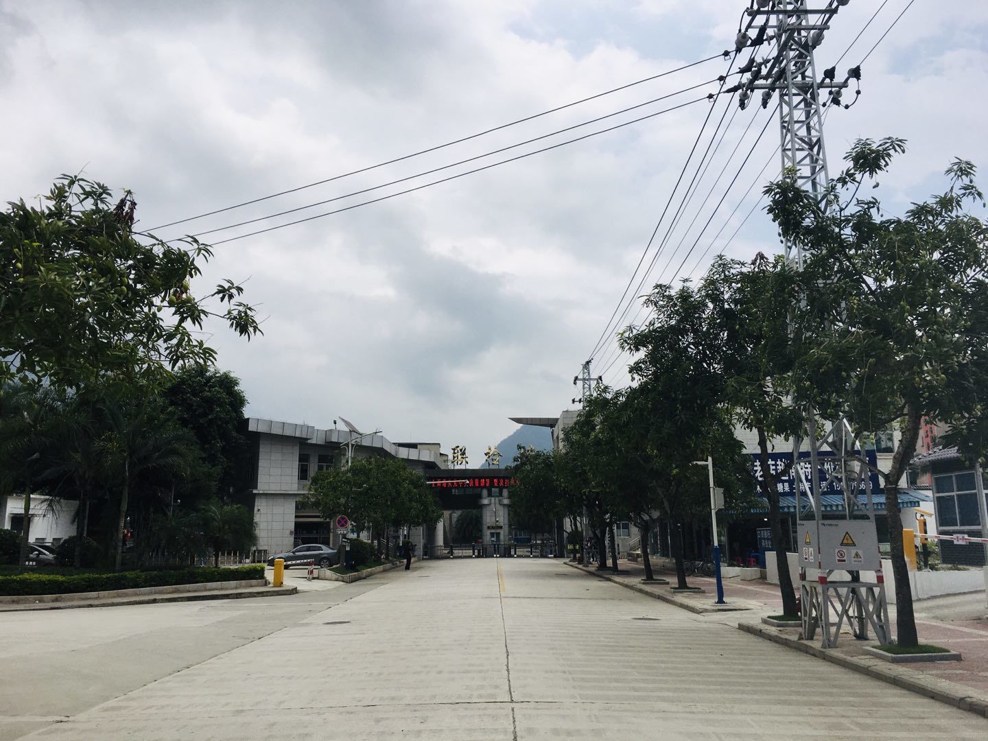
Tianbao Town is located in a low-altitude river valley, the climate environment is humid and hot, although the sunshine is not strong, but it is very stuffy. Mangoes are also planted on the street trees.
Border checkpoint at Tianbao Port. At present, the Chinese side of the port is closed, but the Vietnamese side sees that there are large trucks still working.
The cultural wall of the Tempo port. The picture on the right is the main peak of the old mountain at an altitude of 1484.48 meters. Before we came to Tianbao, we consulted the duty staff of the People’s Armed Forces Department of Malipo County, and the Laoshan Battlefield Site has not been opened after the closure of the epidemic, and we can only understand it through the graphic information on the cultural wall.
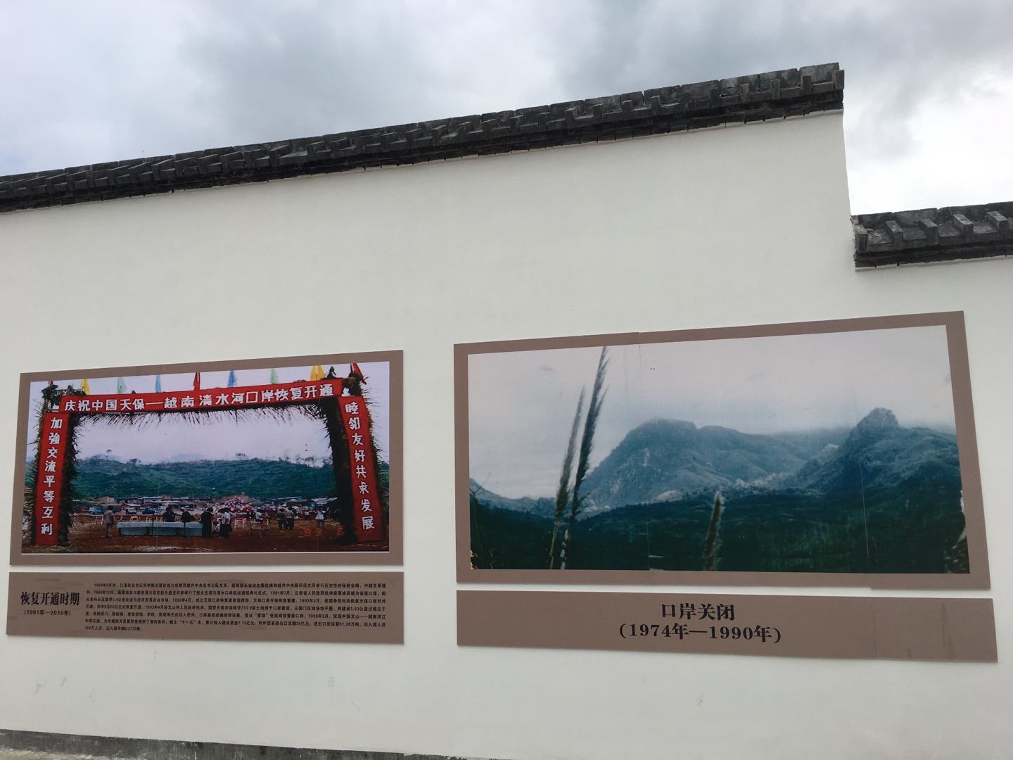
The figure on the right shows “Why the port is closed”, and the results are self-evident.
Use the expression method of map + text to do a good job of popularizing science dissemination for Tianbao Port. At present, the Tianbao port is only accessible by road, with reference to the planning map, the railway will be extended from Wenshan to here in the future through Malipo.
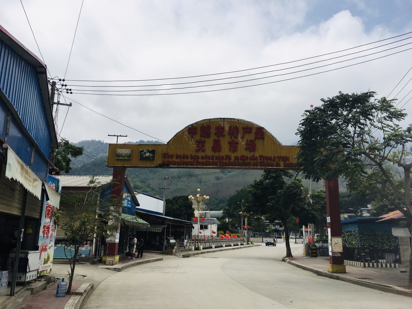
Located at the Tianbao Port, the “China-Vietnam Agricultural Products Trading Market” has a lot of Vietnamese goods and special snacks.
The location correspondence between the county seat of Malipo and the Tianbao Port. The “Tianbao Farm” marked on this map was founded in 1958 and is now under the jurisdiction of Wenshan Branch of Yunnan Nongken Group Co., Ltd., which is a state-owned agricultural economic enterprise. The farm area is located in the river valley, the highest altitude is 770 meters, the lowest altitude is 107 meters, it belongs to the typical subtropical semi-humid monsoon climate, rich in heat, moderate rainfall, basically frost-free throughout the year, relative humidity is large, and the vertical difference in climate is also very obvious. The farm has “rubber, cinnamon, longan” and other kinds of wind and plants, and the food crops are “two times a year”.